English| EUR
Suggested for you
More currencies
Choose a language
La Jolla Cove sits within the San Diego-La Jolla Underwater Park Ecological Reserve, where six thousand acres of protected ocean floor meet a compact shoreline. Understanding the layout—entry stairs, submerged rock formations, and kelp bed boundaries—turns a casual swim into a deliberate exploration of one of California's richest marine habitats.
Quick answer
A la jolla cove snorkeling map identifies three primary zones: the shallow eastern shelf near the sea wall (6–12 feet, ideal for beginners), the central kelp corridor extending northwest toward Boomer Beach (12–25 feet, moderate current), and the western rocky reef bordering the marine reserve boundary (15–30 feet, advanced). Main entry is via the concrete stairs at 1100 Coast Blvd; secondary access exists at the small beach pocket south of the lifeguard station.
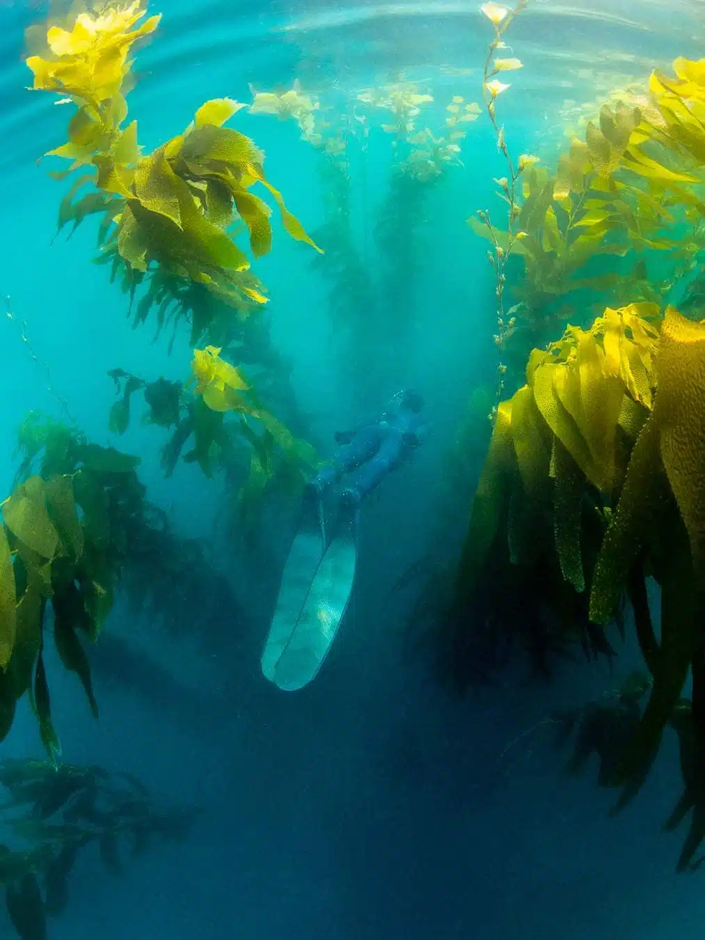
The ecological reserve stretches from the children's pool north to Torrey Pines, but snorkeling activity concentrates in a quarter-mile arc off Coast Boulevard where substrate transitions from sand to reef. The eastern shallows hug the sea wall—a forgiving zone where visibility often exceeds twenty feet and depth stays under twelve. Garibaldi, the state marine fish, patrol this area year-round alongside schools of señorita wrasse and the occasional horn shark resting in crevices. The central corridor runs parallel to shore, marked by kelp stalks anchored in fifteen to twenty feet of water. This underwater route connects the cove to the neighboring Boomer Beach break, though most snorkelers turn back before reaching the surf zone. Leopard sharks frequent the sandy channels between kelp stands during summer months, while bat rays glide over eel grass patches closer to shore. Current flows northwest on outgoing tide and reverses mid-afternoon—timing your entry within the morning arrival window minimizes drift and maximizes bottom time. The western reef slopes toward the reserve's core habitat, where depth drops past thirty feet and rock formations shelter octopus, moray eels, and occasionally California sea lions investigating divers. This zone demands stronger swimming ability; the lifeguard station posts daily conditions including swell height and water temperature, both of which dictate navigable range. Winter storms resculpt the seafloor annually, shifting sand channels and exposing new reef structure, so even repeat visitors benefit from updated spatial awareness. The concrete access stairs descend directly into the primary snorkel zone—no beach walk required—making this one of the region's most efficient shore entries for underwater observation. Park rangers patrol the reserve boundary marked by yellow buoys roughly three hundred yards offshore; the snorkel area remains well within that limit. Free entry to the beach and cove area removes financial barriers, though the density of weekend visitors increases surge and reduces visibility. Orienting yourself with landmark features—the children's pool jetty to the south, Goldfish Point's rocky outcrop to the north, the lifeguard tower at beach center—keeps navigation intuitive even when underwater visibility drops below ten feet during plankton blooms or recent swell.
“Kelp stalks anchored in fifteen to twenty feet of water create a natural corridor connecting the cove to neighboring breaks, with leopard sharks frequenting sandy channels during summer months.”
The best arrival window is 09:00–11:00 to beat midday crowds and minimize wind-driven water choppiness. Planning your session during these early hours ensures better visibility and easier access to the water.
—
Fewer visitors provide more space for navigating the area around the cove.
70–75°F water, sunny
Warmest water temperatures occur during these months despite higher visitor density.
60–65°F water, mild
These shoulder seasons offer a balance of manageable crowd levels and clearer water conditions.
Verdict: Plan your visit for a weekday morning between 09:00–11:00 during the months of April, May, September, or October for the most favorable conditions.
La Jolla Cove is accessible to the public daily throughout the year. The area remains open during the hours listed below to accommodate visitors planning their snorkeling activities.
Access to La Jolla Cove and its surrounding beach area is managed by the City of San Diego and does not require an entrance fee. Visitors may enjoy the marine environment free of charge.
Verdict: An adult pays 0 USD for entrance, as access to the beach and snorkeling area is entirely free.
La Jolla Cove is located at 1100 Coast Blvd, La Jolla, CA 92037. The most direct approach is by car via I-5, exiting at La Jolla Village Drive or Ardath Road.
Take I-5 to La Jolla Village Drive, proceed west to Torrey Pines Road, then follow signs to Coast Blvd
MTS Route 30 to La Jolla Blvd & Silverado St, then walk 10 minutes
Direct drop-off at Coast Blvd near the entrance
Parking on Coast Blvd is limited and fills quickly; utilizing public parking lots located a few blocks uphill on Prospect Street is often the most efficient strategy.
La Jolla Cove sits within the San Diego-La Jolla Underwater Park Ecological Reserve, a Marine Protected Area with strict regulations. Following these guidelines protects marine life and ensures continued public access.
Everything you need to know about la jolla cove snorkeling map
You can view official area resources via the official lifeguard website or by visiting local dive shops near the coast. A digital la jolla cove snorkeling map is often available online to help you identify key entry points.
While the area is relatively contained, having a la jolla cove snorkeling map helps beginners identify the safest entry and exit points. It provides context for navigating the rocky shoreline and avoiding hazardous areas.
A high-quality La Jolla underwater park guide should highlight the kelp forests, rock reefs, and sandy patches where marine life like garibaldi and sea lions congregate. Look for markers that delineate the state marine reserve boundaries.
Yes, the area is a protected state marine reserve, and a proper la jolla cove snorkeling map will show you exactly where fishing and collecting are strictly prohibited. Staying within these zones ensures you remain in the most ecologically vibrant parts of the reef.
Many local operators offer guided sessions that act as a live la jolla cove snorkeling map, taking you to the best spots while providing essential safety instruction. These tours are an excellent way to learn the layout of the cove from experienced professionals.
Children are welcome to explore the area, but they should always be supervised, especially when referencing a la jolla cove snorkeling map to navigate the water. Ensure they wear proper buoyancy aids and stay within the shallow, protected zones.
The best arrival window is 09:00–11:00 to beat the midday crowds and minimize wind-driven water choppiness. Planning your session during these morning hours allows you to utilize your la jolla cove snorkeling map under the calmest conditions.